The Capu di Muru trail runs along the coast between the Gulf of Ajaccio and the Gulf of Valinco, on a terrain of granite and maquis. Before you embark on this journey, a few realities of the terrain deserve your attention, particularly the issue of regulated access during the summer months and the complete absence of supplies along the route.
Access prohibited in summer: the regulatory constraint that hikers discover too late
You’ve spotted the trail, downloaded the GPS track, and packed your bag. But upon arrival, a sign blocks your way: area closed by prefectural order. This scenario occurs regularly in Corsica during the hottest months.
The fire risk can close access to Corsican massifs at very short notice. These restrictions depend on both prefectural and municipal orders. In cases of extreme risk, access may be prohibited to wooded areas larger than four hectares, even if no fire is currently occurring on the trail itself.
A detail that traps most visitors: the regulations distinguish between open roads and closed natural areas. You may sometimes reach the Coti-Chiavari area by departmental roads while being unable to access the coastal trail.
For those preparing their hike at Capu di Muru, checking these orders the day before departure remains the only reliable way to avoid an unnecessary round trip.
Where to find the information? Check the website of the prefecture of South Corsica and the town hall of Coti-Chiavari. Local tourist offices also relay these alerts, but sometimes with a delay.
Rugged terrain and maquis on the Capu di Muru trail: what changes the difficulty
Topos often present this loop as an easy walk. The elevation gain is modest, it’s true. But difficulty is not just about elevation.
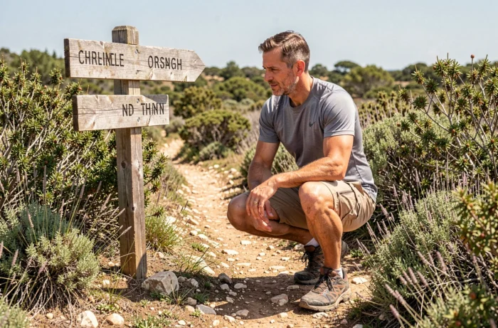
The chaotic granite requires sections where you climb on the rocks with bare hands. Polished granite can become slippery with morning humidity or after a rare shower. The maquis, dense in places, reduces visibility of the trail. Without recent markings, some sections require attention to avoid losing the path.
What the terrain concretely demands
- Hiking boots with a rugged sole, not sneakers or beach sandals (granite quickly wears down smooth soles and does not forgive weak ankles)
- Particular vigilance on sloping rock slabs, especially when descending towards the Genoese tower, where granite forms inclined surfaces
- A good sense of direction, as the markings remain irregular on certain portions and the maquis vegetation can obscure the cairns
Why does this coastal loop surprise even regular walkers? Because the terrain alternates between dirt paths, rock slabs, and passages through vegetation. It is not a linear and regular path. It is a succession of micro-environments, each requiring adaptation.
Supplies and water on the coastal loop: plan before you leave
No water points or supplies exist along the route. This information may seem trivial, but it changes the preparation. In summer, the Corsican heat combined with the exposed terrain increases water consumption well beyond what one would expect for a walk of comparable length in mainland France.
The maquis offers little shade on the ridge sections. The Genoese tower of Capo di Muro, the main point of interest on the hike, is located in a windy area but without shelter. Bring more water than the distance alone suggests.
Equipment not to be neglected
- Sufficient water for the entire duration (plan generously, no source on the trail)
- Sun protection and a hat, as the reflection on the granite amplifies exposure
- A lightweight windbreaker for ridge passages, the wind can blow strongly at the cape even in good weather
- Snacks, as the return to the Coti-Chiavari parking lot may take longer than expected if you lose the trail
Time slot and season to enjoy the Corsican panorama
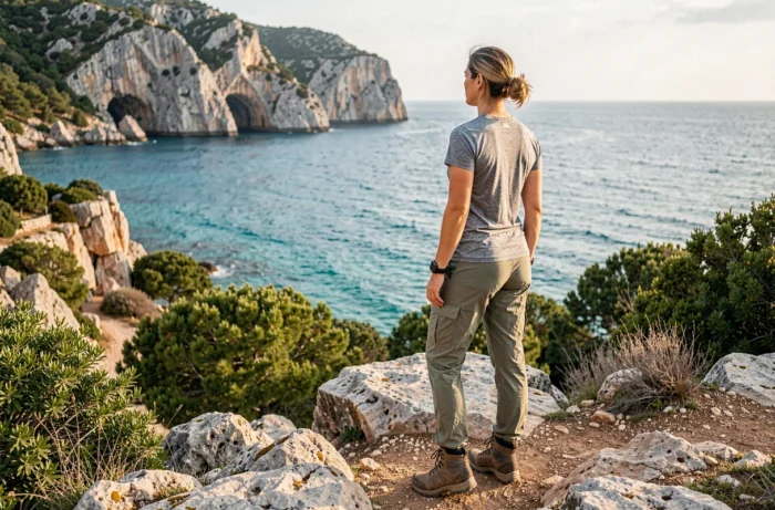
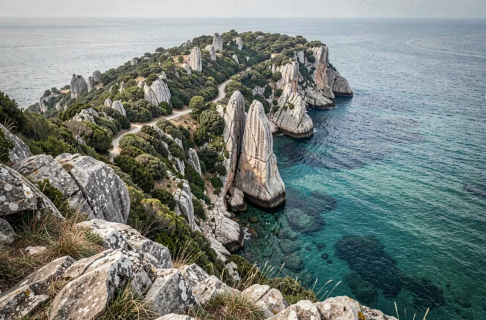
The late afternoon light transforms the landscape over the Gulf of Ajaccio and the Gulf of Valinco. The granite blocks take on a golden hue, and the sea shifts from bright blue to deeper shades. This is the time slot that many hikers recommend.
Spring and autumn offer the best conditions for this hike. The maquis is in bloom in spring, the heat remains bearable, and access restrictions related to fire risk are generally not yet in effect. In autumn, visitor numbers decrease and temperatures become pleasant again.
In mid-summer, beyond the risk of regulatory closure, the heat along the coast makes the effort arduous between noon and four o’clock. An early morning or late evening start is essential.
The Genoese tower of Capo di Muro: endpoint and landmark of the trail
The Genoese tower marks the highest point of the loop and the moment when the panorama opens up over both gulfs. This watchtower, built to monitor the coasts, stands on a rocky promontory exposed to the wind.
The inside of the tower is not always accessible, depending on its state of conservation and any potential restrictions. The main interest remains the viewpoint: the Mediterranean on one side, the Corsican maquis on the other, and on clear days, a view that extends far to the south.
The return to the Coti-Chiavari parking lot completes the loop by passing back through the maquis. The descent on granite requires the same vigilance as the ascent. Save energy and water for this return section, often underestimated after the contemplative pause at the summit.